We developed a data-intensive renewable energy prospecting application for the country of Brazil. This application allows engineers and planners to easily find stream segments on a web map that have ideal conditions for small hydroelectric power production. This project integrated multiple types of GIS data and a web mapping interface with scenario models and decision support tools for identifying ideal locations for small hydro-electric plants and siting wind farms. Brazil obviously has a lot of water– the country is very large, and much of it is extremely remote, so identifying ideal stream segments had previously been a difficult process.
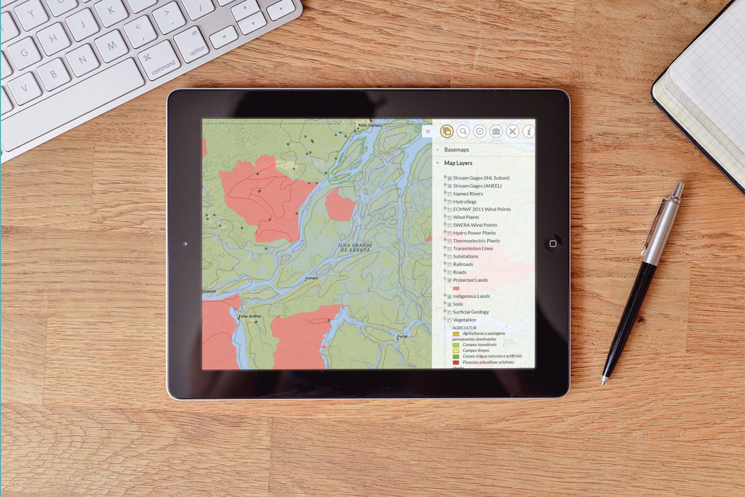
We helped our client gather dozens of datasets from numerous sources, including comprehensive river and stream data, large number environment layers, utilities, land use, cadastre, transportation, lithology, soils, wind, solar potential, DEMs, and much more. We created a spatial database model and schema, standardized and formatted all the data, and developed a rich online mapping interface. From the source data, we created numerous thematic layers, weighted cost surfaces, raster analysis, and other derivatives that were all used in geoprocessing models and spatial analysis tools.
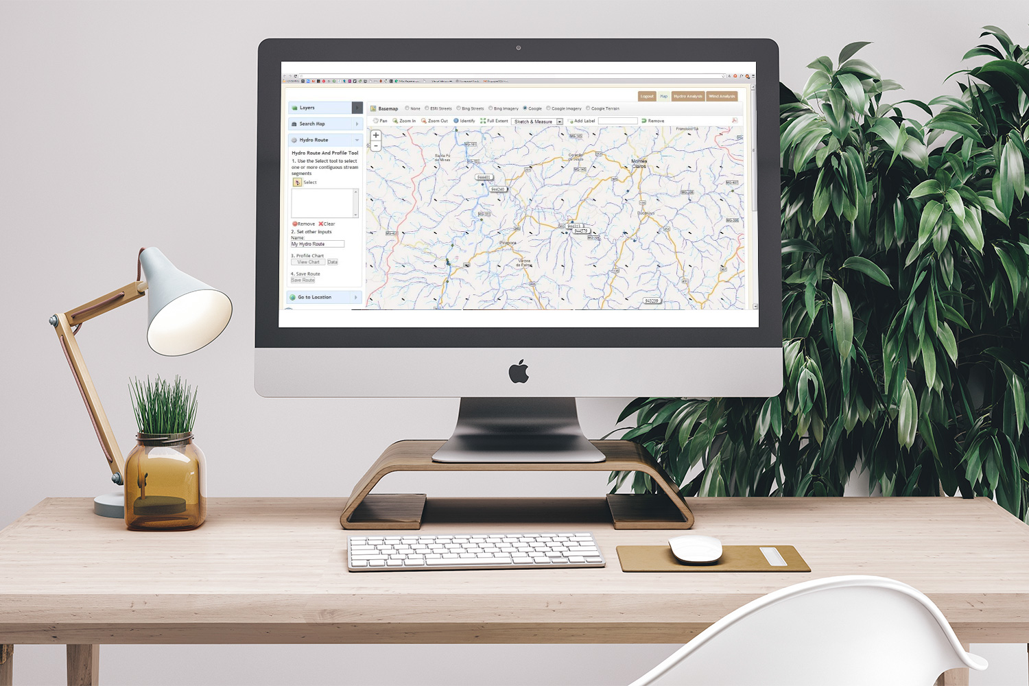
From the web map, users can input selection criteria, assign weighted values, and execute server-side geoprocessing models that return ideal stream and river segments. Planners can then further explore a potential location in detail by appending adjacent stream segments into “hydro routes” to further analyze the hydraulic potential and relationship to nearby factors such as roads, utilities, land ownership and accessibility.
We included additional functionality to upload external documents and notes, share routes with other users, and export results in tabular and spatial formats. In a second phase, we worked with the European Centre for Medium-Range Weather Forecasts (ECMWF) and the National Center for Atmospheric Research (NCAR) to acquire a gridded dataset of 80 meter elevation wind data. Using this data we enhanced the application to identify areas with two potential energy sources: hydro potential and wind potential.