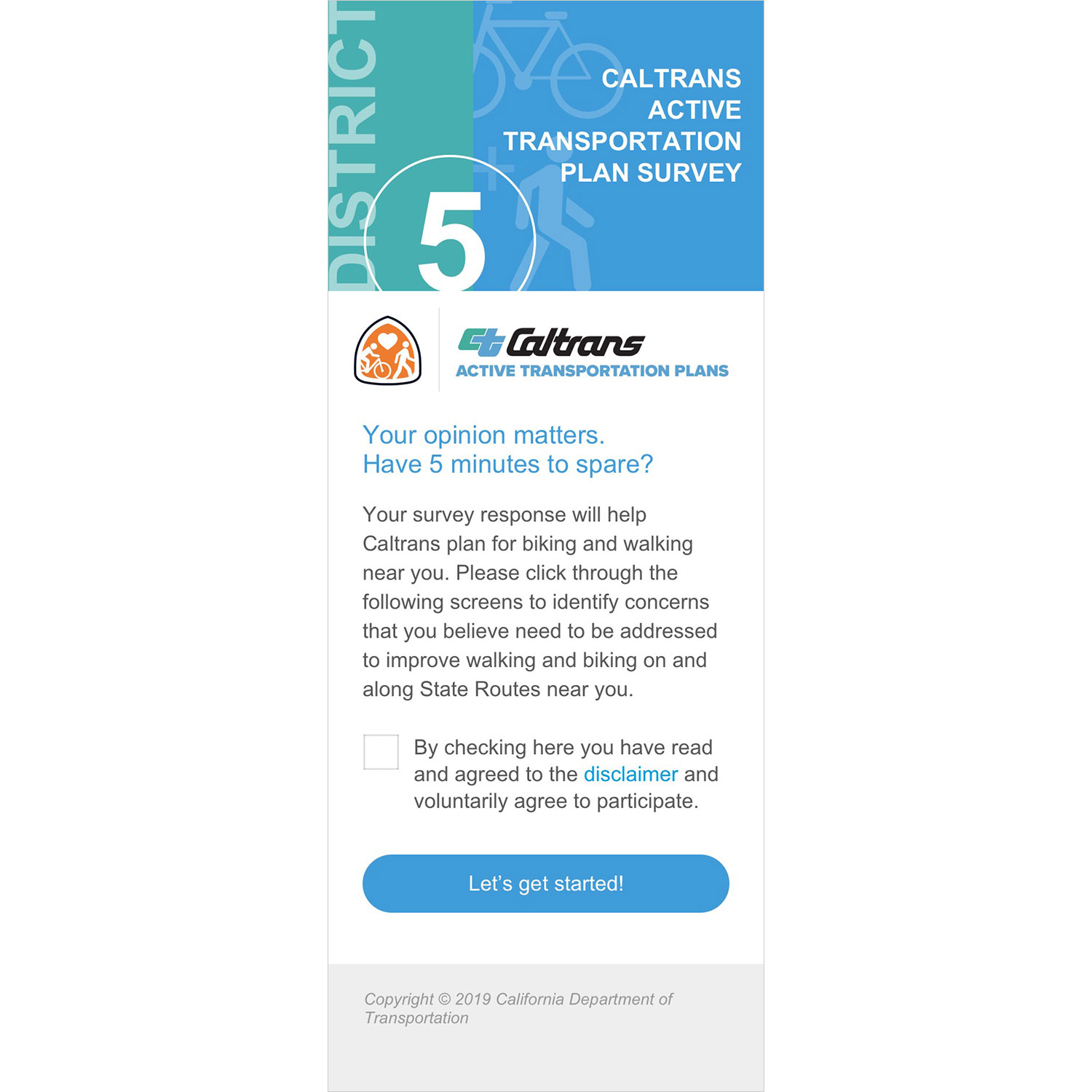
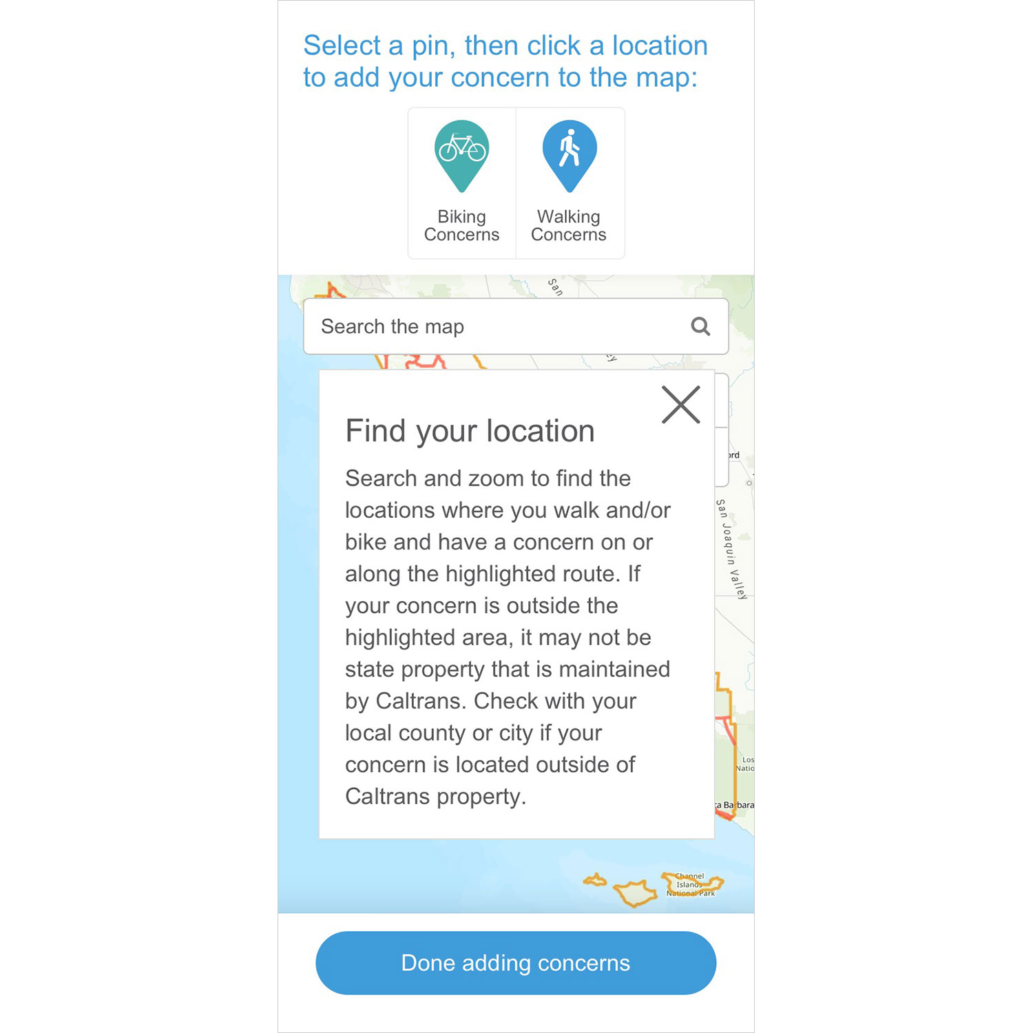
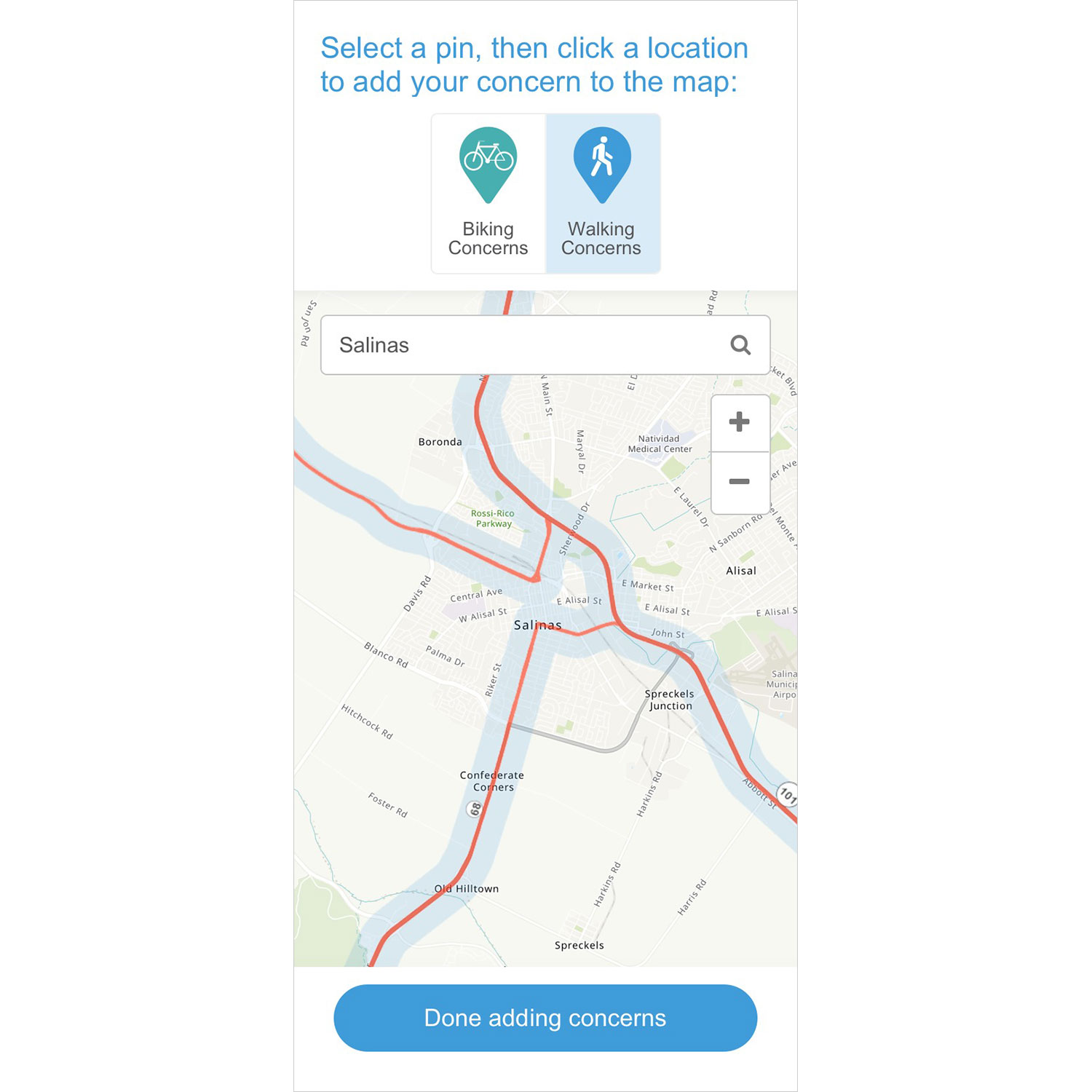
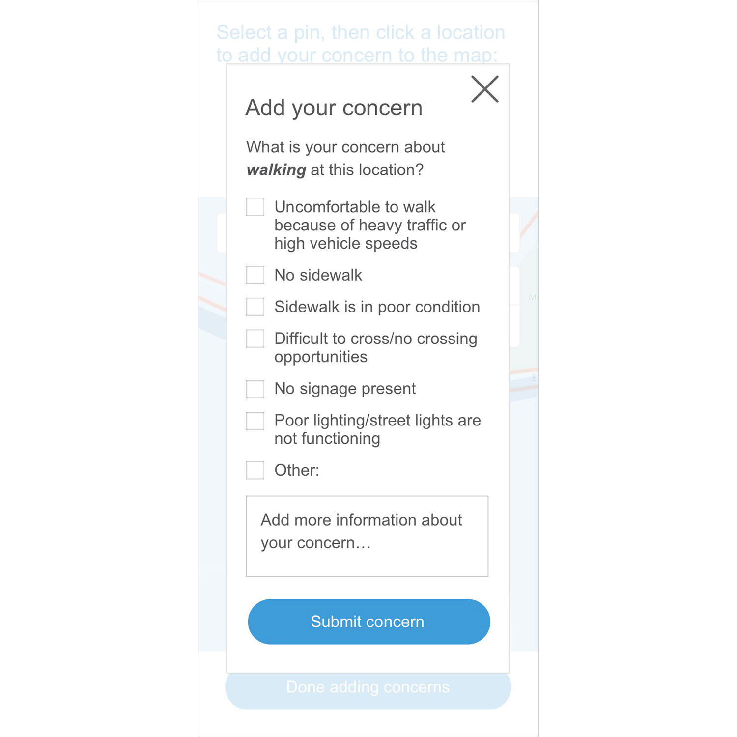
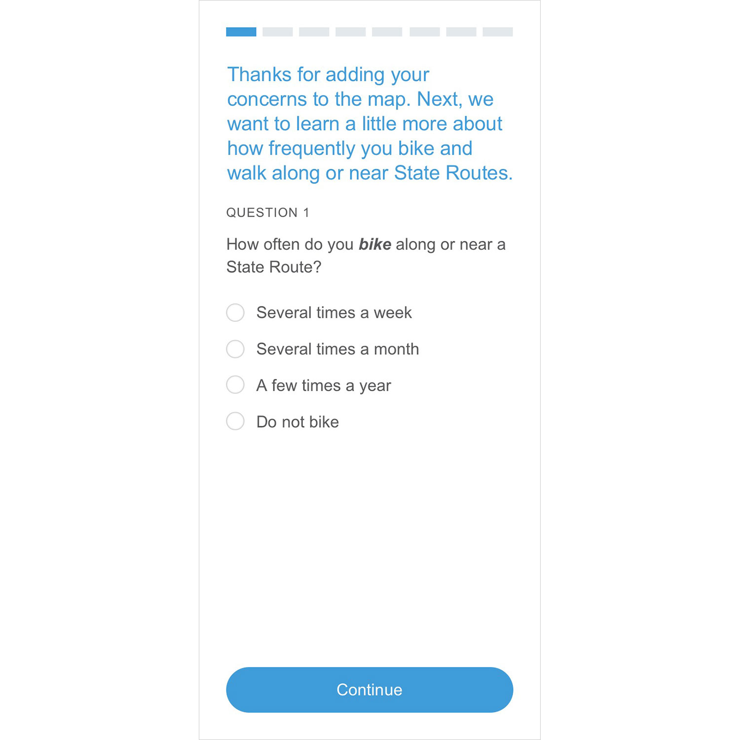
We developed a map-based survey for the California Department of Transportation’s statewide Active Transportation Plan public engagement project. The public-facing survey was mobile friendly, multilingual, and easy to use. Survey responses helped Caltrans address walking and biking concerns along state routes.
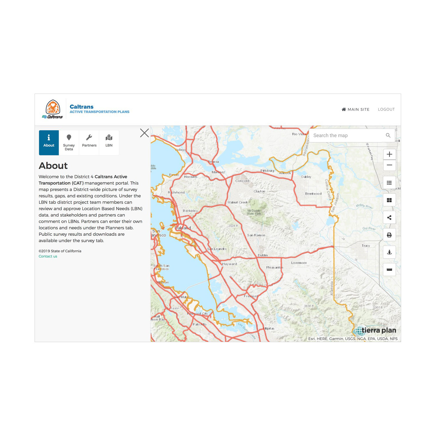
In addition to the public-facing survey, we developed a secured Active Transportation Management Portal for all 12 Caltrans districts. This was a user-friendly website for planners in each Caltrans district to review and analyze survey results, gaps, and existing conditions from a map perspective. District staff can review and approve data, and partner agencies also used the portal to review data and add comments and edits.