History Archives Mapping Platform
Tierra Plan developed a unique interactive mapping platform called the Story of Us (SoU) for the Colorado Springs Pioneers Museum. SoU is an interactive exhibit at the museum that brings past landscapes alive and makes the connections that tell the story of the shaping of the city.
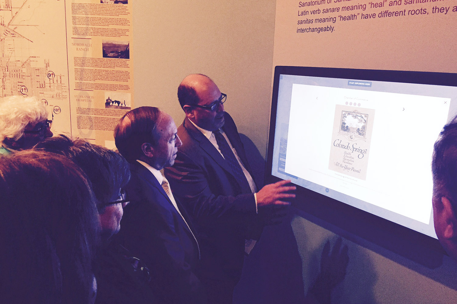
The interface is deployed on multiple large touch enabled displays throughout the museum, and is available online as a web based virtual exhibit that anyone can access. We built this application to work on devices ranging from large public displays, personal computers, and mobile devices. This required creative design and careful development to make map interfaces that honor both touch and mouse events.
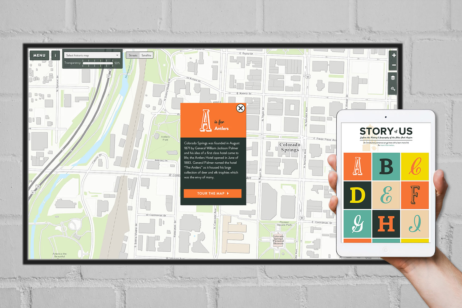
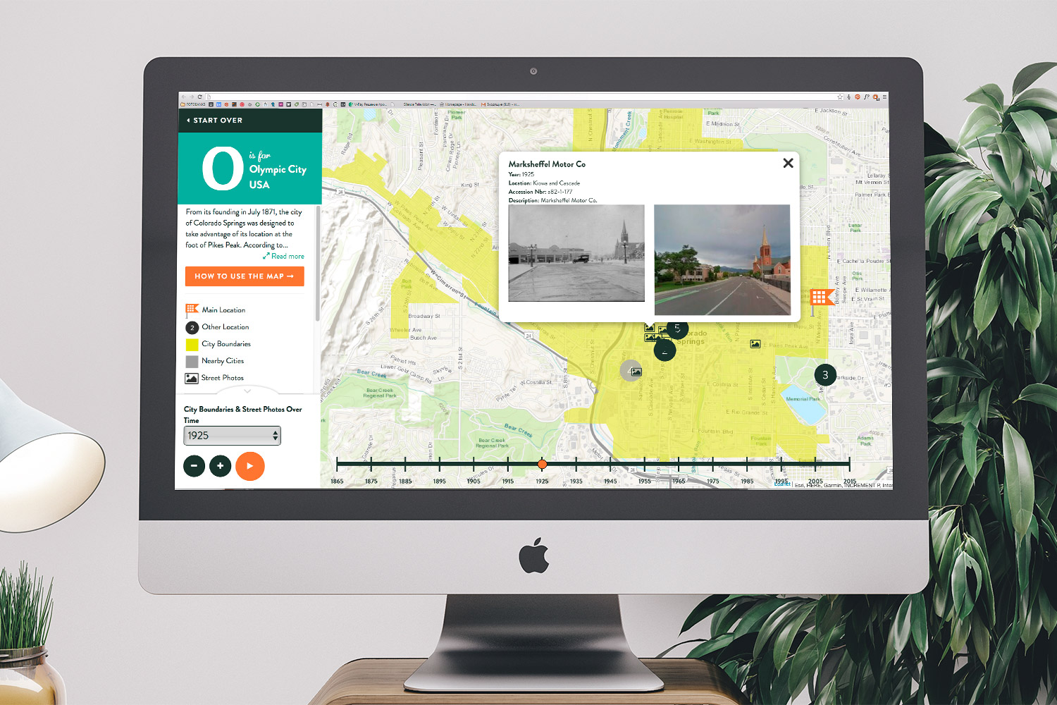
Users can select a variety of historical themes from an A to Z ‘storybook’ themed menu. Each theme opens on a web map loaded with a variety of data including time-enabled layers, geo animations, historical maps, historic street photos alongside contemporary street views, virtual realities portraying historical and geographical change, and multiple types of digital media. The public can suggest edits or new contributions through a crowd sourcing interface called “You” so the project will grow in perpetuity with new content
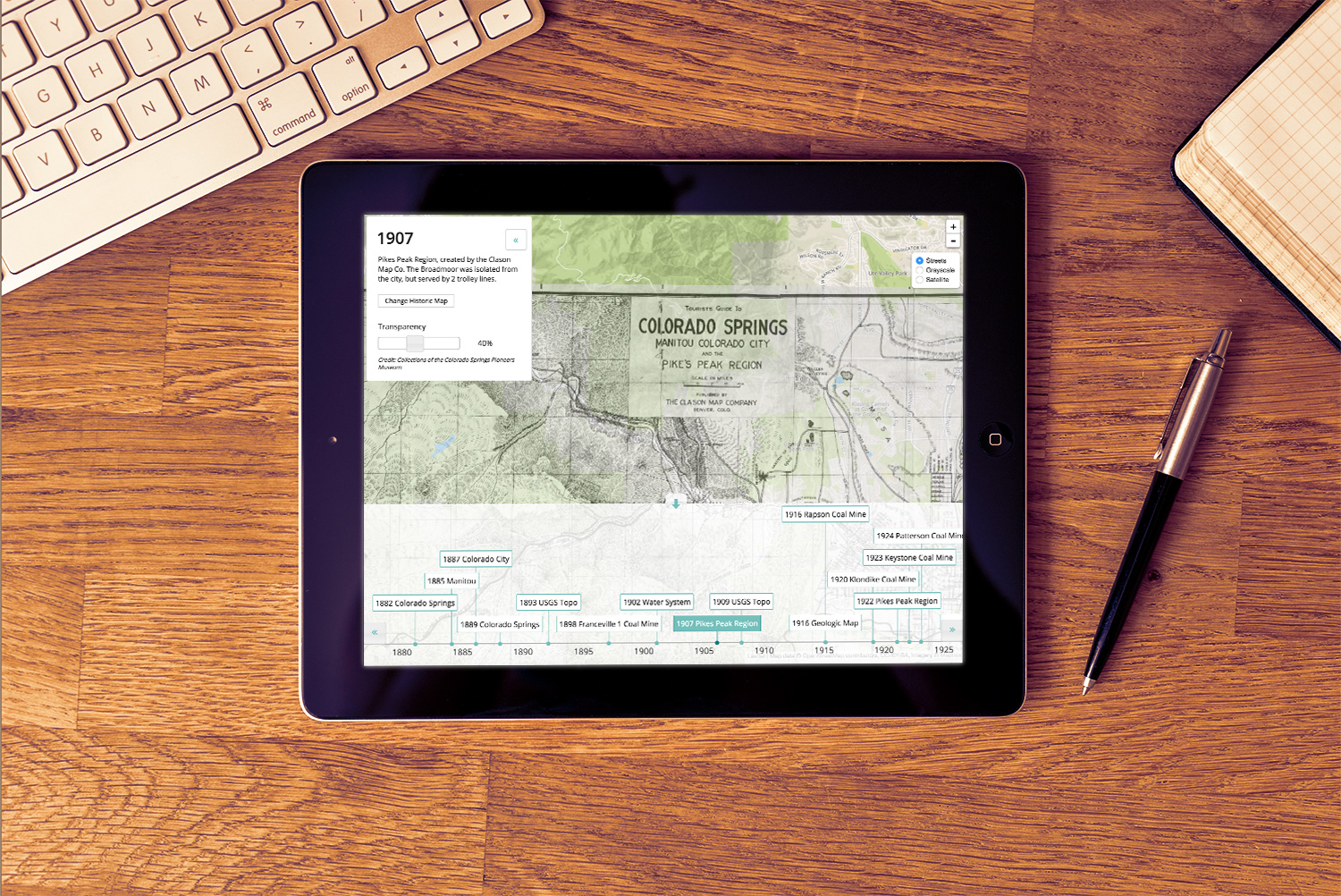
We also created a fun web-enabled historic map collection called Digital Deep Map. Twenty-five historic maps and aerial imagery were scanned, georectified, and tiled – then integrated into a database and a responsive web interface so users can explore the maps using a timeline control.
Colorado Springs Pioneers Museum
Requirements gathering
Data workflows
Experience mapping
Interface design
HTML/CSS/JavaScript development
Web map development
Training


