Educate, inspire, and captivate your audience with beautifully designed interactive exhibits. From immersive experiences on large touchscreen displays to smartphone tours for exploring public spaces, your stories will come to life with digital experiences that use maps as a central element for discovery and engagement.
Interactive exhibits using maps are powerful tools for sharing your narratives and presenting complex information in an accessible and engaging manner.
Map-based interactive experiences can help you communicate the details of historic events, explain geographic features or scientific concepts, present cultural information, guide visitors around indoor and outdoor public spaces, and more. Interactive museum experiences that include maps provide game-like, multi-sensory encounters that make learning fun.
Exhibits can be tailored for large multitouch tables or mobile tours on smartphones – they can even be built to scale flexibly for all screen sizes. Ideal for art galleries, visitor centers, local landscapes, or science and natural history museums, interactive map exhibits engage the curiosity of visitors of all ages.
Our Services
At Tierra Plan, we specialize in using maps as a central element for interactive storytelling. We partner with curators, organizations, companies, and agencies to provide tailored, hands-on, interactive exhibit services from ideation to installation.
Interactive Exhibit Planning
We assist with requirements gathering and experience mapping to help you creatively imagine, envision, and plan your interactive map exhibit.
Interactive Exhibit Curation
We assist in collecting and formatting data from various sources and integrating this information into a cohesive view that’s organized for visual storytelling.
Interactive Exhibit Design
We design interactive exhibits that support our partners’ educational and engagement goals using an iterative and collaborative mockup and prototyping process.
Interactive Exhibit Development
Our database, map, and software developers have experience with many platforms and can efficiently build flexible, scalable exhibit solutions.
Interactive Exhibit Accessibility
We strive to create interactive exhibits that encourage active participation by a range of users and can assist in user testing and optimization.
And more…
We also digitize historic paper maps, illustrate exhibit animations, create artifact tracking systems, and build API’s for data sharing. Need something specific? Just ask!
Get inspired!
Explore what we might do together through examples of the interactive museum exhibits and mobile tours we’ve created in collaboration with our clients.
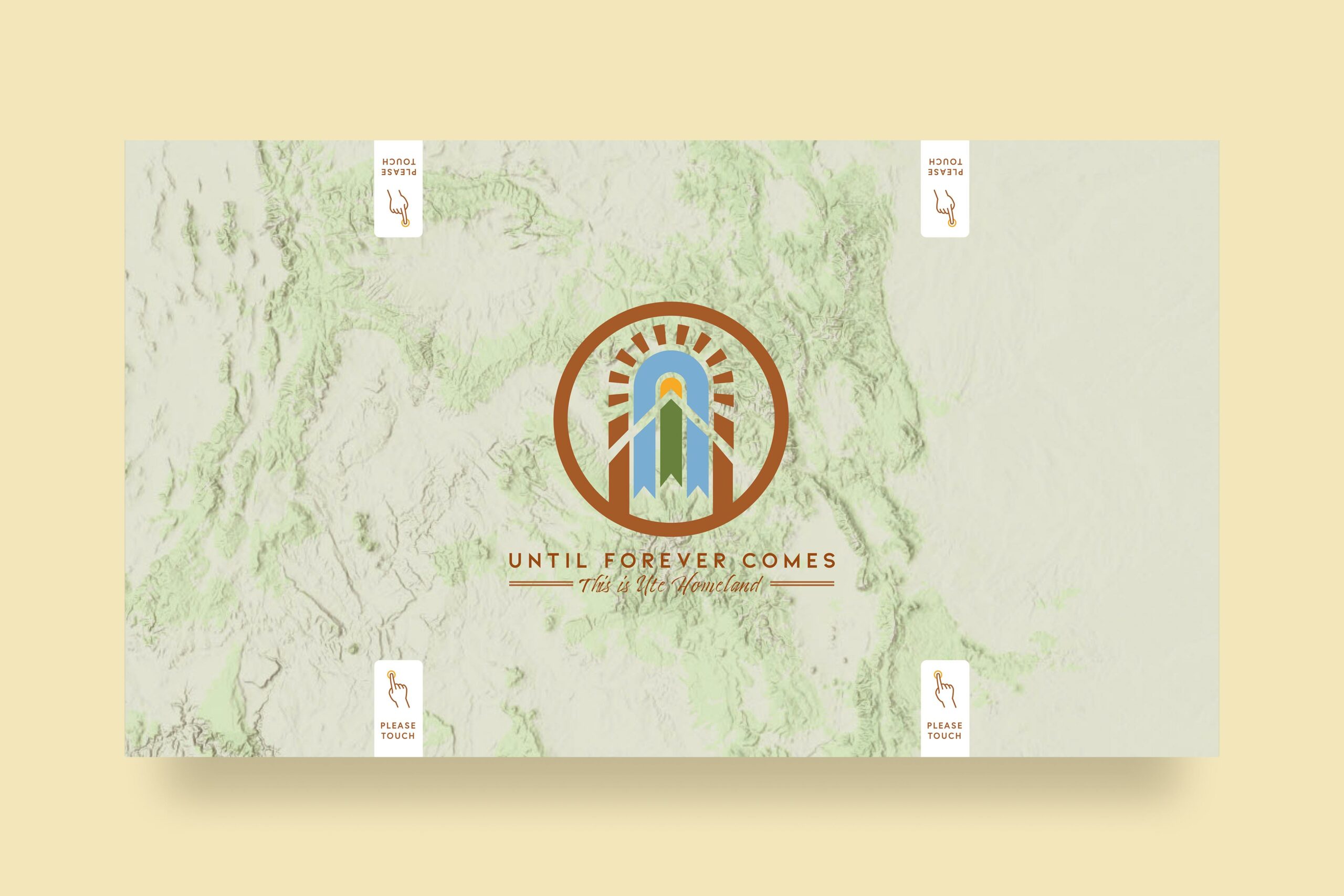
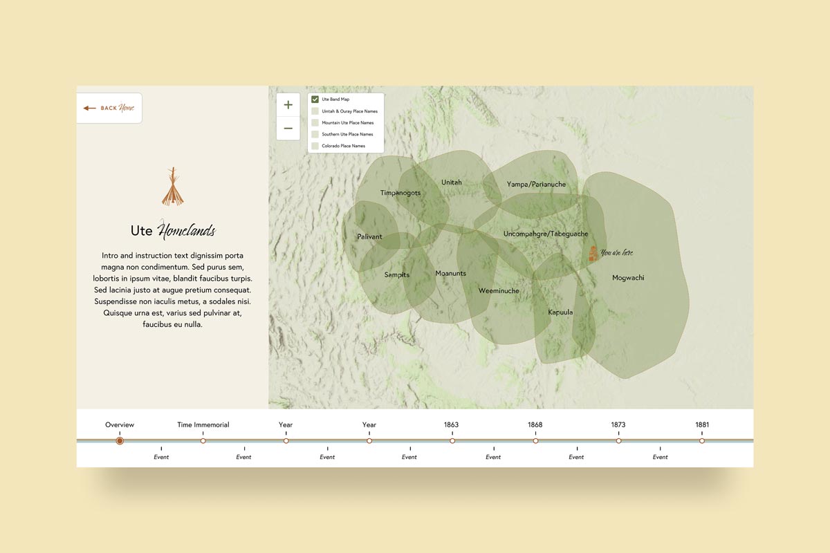
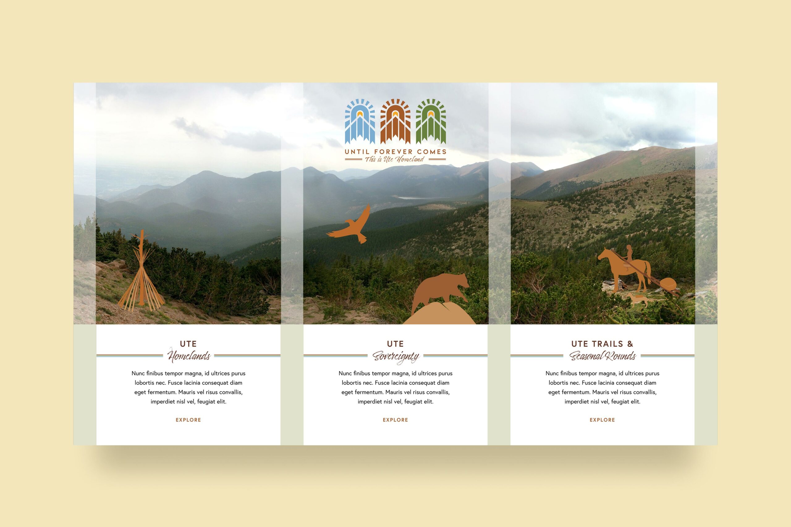
We are honored to be working with the Colorado Springs Pioneers Museum to bring the story of the Ute homeland to life. This exhibit is centered around a map interface that will be accessible on a large table display in the museum. The same interface is built to respond to a range of screen sizes and is accessible everywhere online.
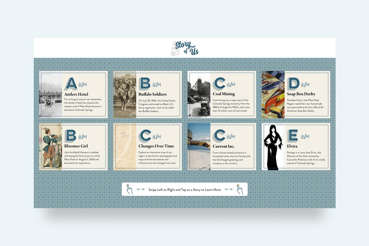
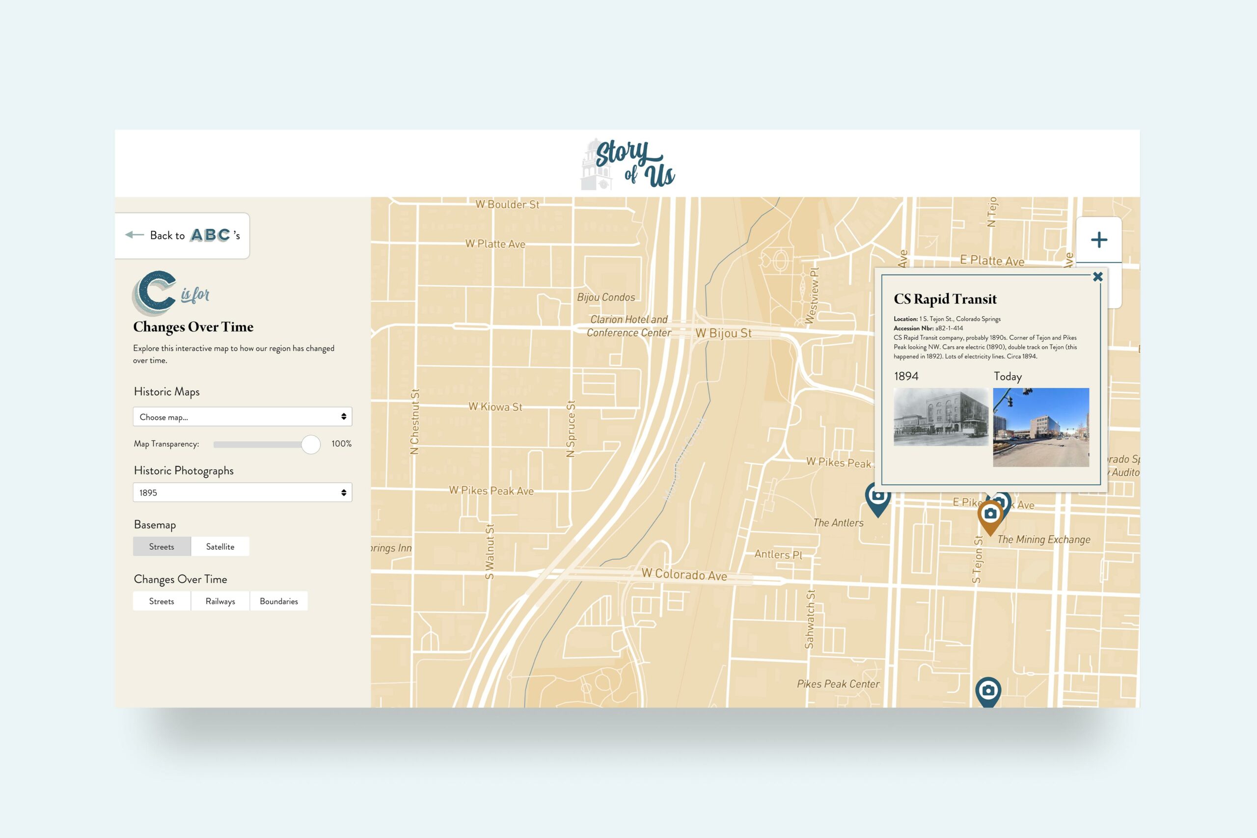
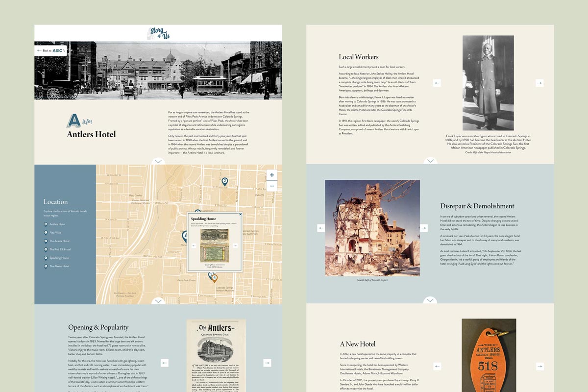
We are currently working with the Colorado Springs Pioneers Museum to update the museum’s Story of Us interactive exhibit. The interface will be deployed on multiple large touch-enabled displays throughout the museum, and will be available online as a web-based virtual exhibit that anyone can access.
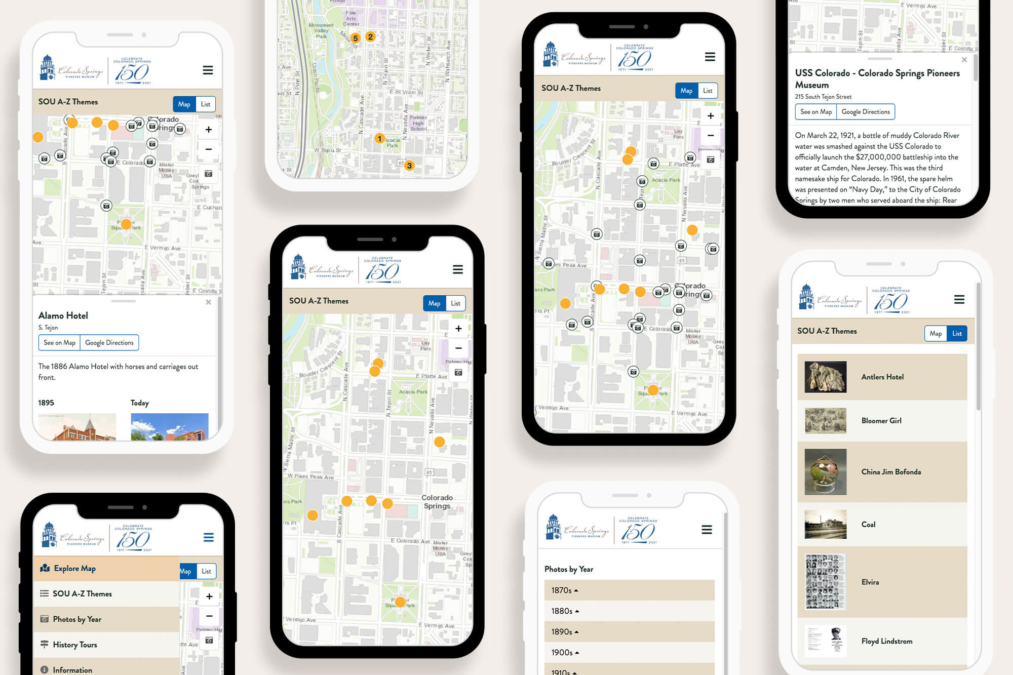
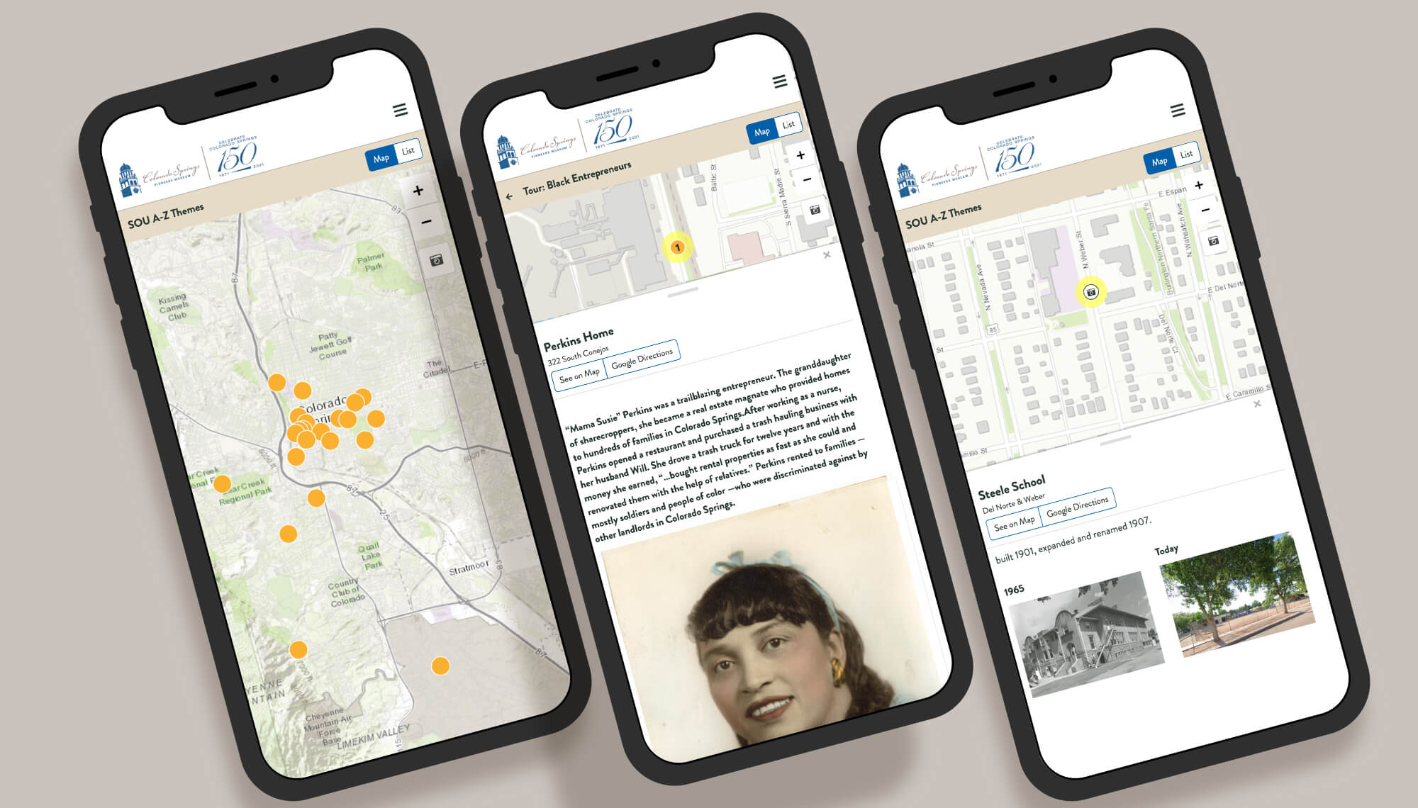
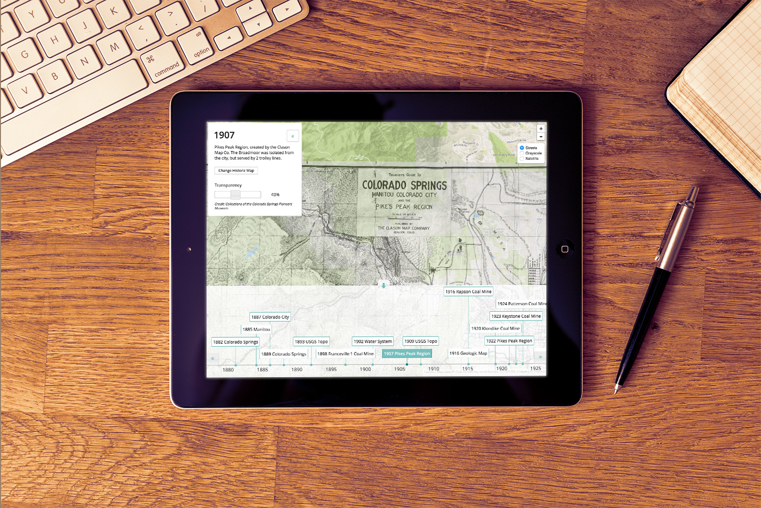
We worked with the City of Colorado and the Colorado Springs Pioneers Museum to create a highly engaging mobile interactive experience for exploring the history of Colorado’s Pikes Peak Region. The project was conceived in coordination with the City of Colorado Springs in commemoration of the City’s 150th anniversary celebration.
Historical Map Collection
We created a fun and educational collection of historic maps and aerial imagery. Historic imagery was scanned, georectified, and tiled – then integrated into a database and a responsive web interface so users can interactively explore the maps using a timeline control.
This site uses cookies to ensure you get the best experience. By using this website, you agree to our Privacy Policy.